Build and share geospatial dashboards that can answer complex questions with natural language - instantly

The only GIS platform where natural language meets complex geospatial analysis. Ask questions, get answers, share insights.
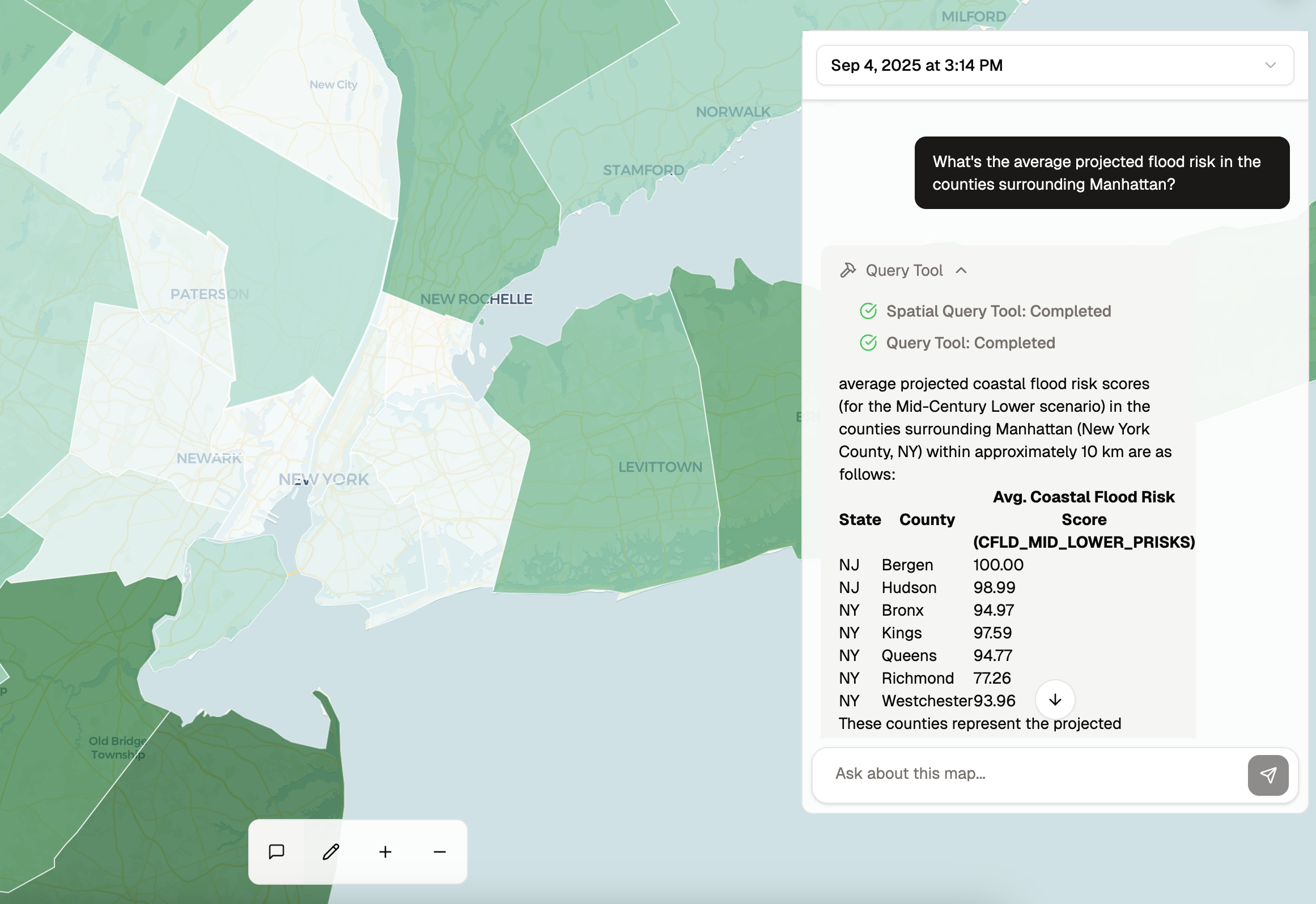
Query your data with natural language and get instant, structured results. Ask about flood risk, population density, or any spatial relationship—our AI processes complex geospatial queries and returns detailed, tabular data with precise geographic analysis.

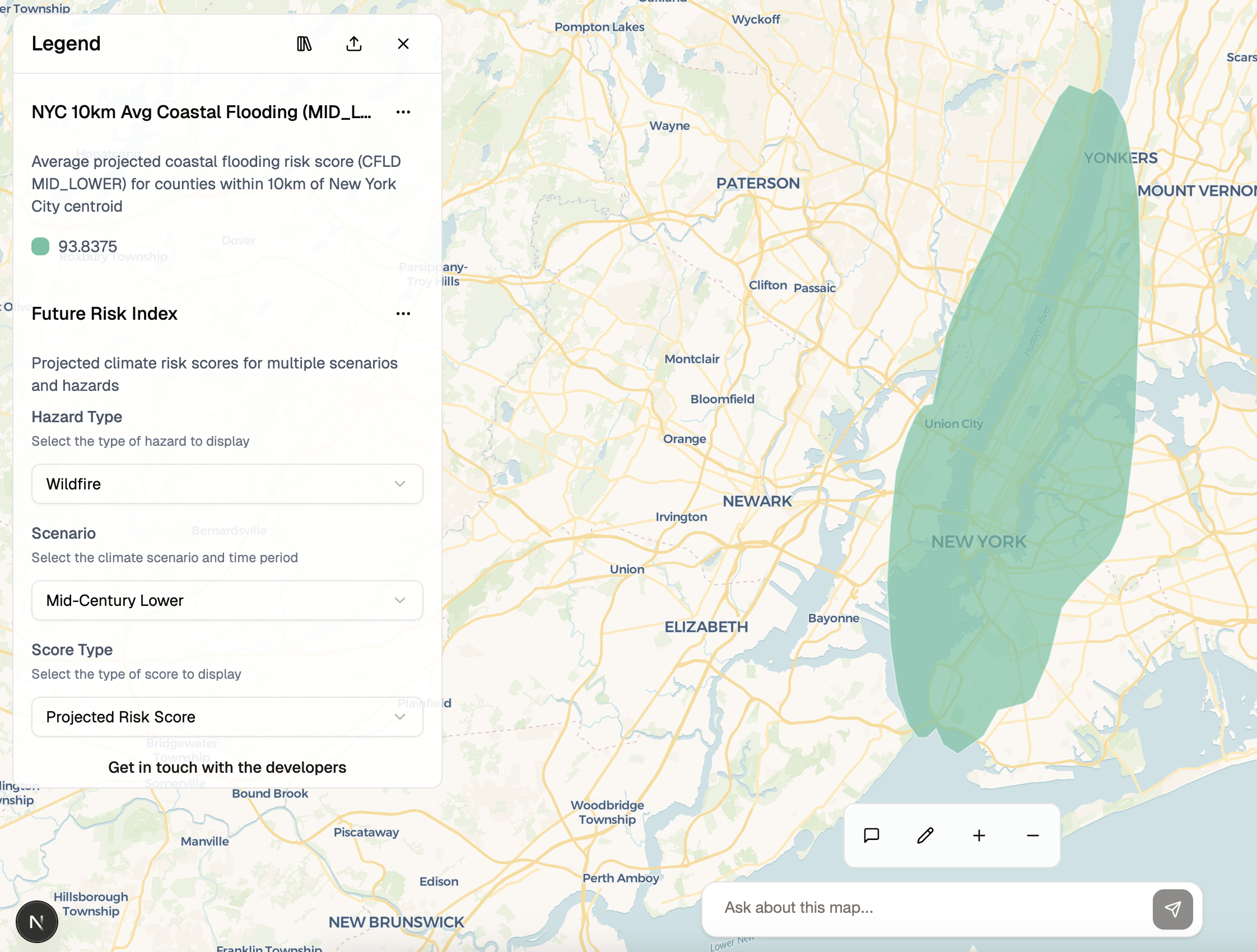
Transform complex datasets into clear, interactive legends that tell your story. Our AI automatically generates beautiful visualizations with smart categorization, color schemes, and contextual insights.

Generate complex spatial layers with natural language commands. Create buffers, zones, and boundaries around any geographic feature. Our AI understands spatial relationships and automatically builds the geospatial analysis you need.

Drag and drop spreadsheets, shapefiles, or any location data you have. We automatically understand addresses, coordinates, and geographic boundaries.
See what questions people are asking and what they're trying to learn from your data. Track which insights are most valuable, monitor user queries, and understand what drives engagement with your spatial analysis.
Your sensitive community data stays protected with enterprise-grade security. Control who sees what, and keep your organization's information safe.
Explore real examples of interactive maps and dashboards created with Marauders. Click to experience the power of conversational geospatial analysis.
Explore climate risk patterns and vulnerability assessments across different regions.
Track the economic impact of natural disasters and their geographic distribution.
Choose the plan that fits your needs. Upgrade or downgrade at any time.
Perfect for doing a quick analysis on your own
Additional prompts: $0.10 each • Storage: $0.50/GB/month
For small to medium-sized organizations
Additional prompts: $0.05 each • Storage: $0.25/GB/month
For large organizations with complex needs
Volume discounts available
Turn complex data into clear, shareable maps that anyone can understand and explore.
✓ Free personal account • ✓ No setup fees • ✓ Cancel anytime